
Scripture study combined with Google Earth can provide a deeper understanding and appreciation for the teachings and life of Christ.
BYU teaching and learning consultant Taylor Halverson provided training at Campus Education Week on how to use Google Earth while studying the scriptures. Because Jesus Christ lived in a specific culture in a certain place, understanding the geographical context of his teachings can give greater insight into the power of Christ’s teaching.
Halverson, who has Ph.Ds in both Judaism and Christianity in Antiquity and Instructional Systems Technology, referenced several scriptural accounts of Christ teaching his disciples to show the power of understanding this context.
He first referenced the miracle of Christ feeding the 5,000. Halverson used Google Earth to show the size of the Sea of Galilee, the potential location of where Christ performed the miracle, and the city Magdala, where Christ went afterward. The resources on Google Earth allowed Halverson to show the lush, fertile area where this particular miracle took place.
Matthew 16 says that after leaving Magdala, Christ and his disciples went up to Caesarea Philippi. In this place Christ asked Peter “Whom say ye that I am? And Simon Peter answered and said, Thou art the Christ, the Son of the living God.”
Halverson used Google Earth to show the distance between Magdala and Caesarea Philippi. The distance of about 32 miles as the crow flies would be around 50 miles, or three days, of walking.
“Why would Christ bring his disciples here?” Halverson asked. “Why couldn’t he have asked his question in Magdala?”
In order to have a specific learning experience with his disciples, Christ chose this specific location. Caesarea Philippi lay at the base of Mount Hermon, the tallest mountain for 500 miles. Christ took his disciples to the most immovable rock around in order to teach them about the kingdom of God being built on this rock.
Halverson said that although the disciples couldn’t help but understand, they couldn’t spend four chapters explaining the geography. The people they wrote to would recognize the location and understand the significance of why Christ taught where he taught.
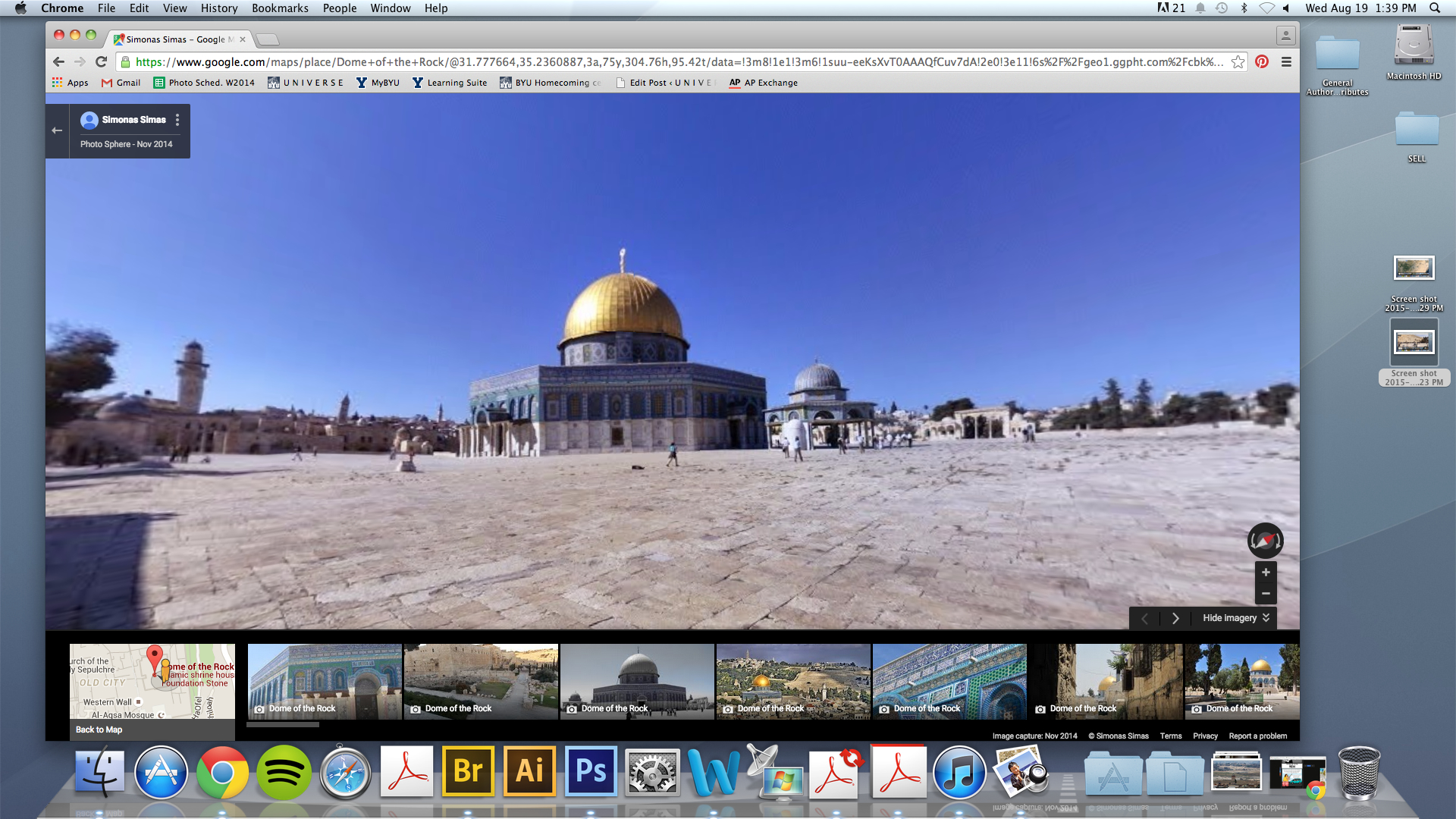
The Google Earth tour continued to the Mount of Olives. Halverson also showed a current BYU project the aims to completely reconstruct Jerusalem as the city was during Christ’s life.
Another example is Jesus Christ’s baptism. Through Google Earth, Halverson showed the location of different cities that were said to come to John the Baptist to be baptized. Using those cities, Halverson suggested a spot for Christ’s baptism that would be the lowest place on earth that lies below sea level.
“Symbolically and geographically it makes more sense,” Halverson said.
The resources on Google Earth such as photographs, videos, and 3D buildings also provided a visual context for where Christ taught.


